The latest data on the glacial and deglacial history of the southwest Great Slave Lake region, NWT.
The Laurentide Ice Sheet (LIS) covered the majority of Canada during the last glaciation. By studying glacial features and landforms, ice-flow directions and deglacial chronology can be determined and then applied to continental-scale ice sheet models. How the LIS moved and retreated along its western margin has been identified as an area requiring more detailed analysis, specifically because of implications for drainage of glacial Lake McConnell into the Arctic Ocean. This research focuses on reconstructing LIS dynamics and ice margin retreat in an area southwest of Great Slave Lake by studying the ice sheet’s erosive and depositional records.
Bedrock erosive features (e.g., glacial striae) indicate that ice flow shifted from an oldest southwestward (230°), to an intermediate westward (280°), and then a youngest northwestward (305°) direction. Southwestward flow records ice that moved from the Keewatin Ice Dome, a region in Nunavut that split the ice-sheet in different flow-directions, at a time when LIS cover was at its maximum. During retreat, the LIS experienced changes in its configuration resulting in a more westward ice flow. The final flow phase became increasingly topographically controlled, and flowed northwest down the Mackenzie River valley.
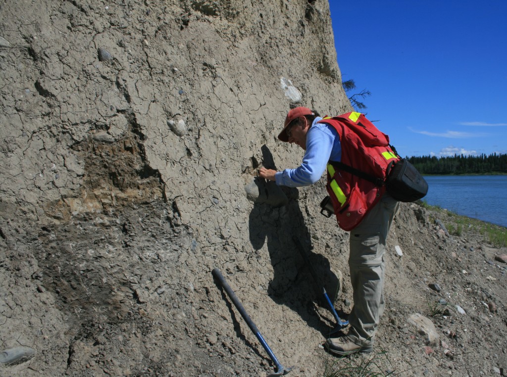
In addition to the erosional record, exposed glacial sediments along the banks of the Mackenzie River revealed two contrasting tills; a lower grey till sourced mainly from local Paleozoic bedrock and an upper brown till containing more far-travelled Canadian Shield lithologies, separated by a discontinuous clast pavement. Clast macro-fabrics conducted on these tills show a southwest (lower till) and northwest (upper till) flow direction, and westerly striations preserved on faceted upper surfaces of the clast pavement. Altogether, the erosional and depositional records reveal a coherent sequence of clockwise-shifting ice flow from southwestward to northwestward.
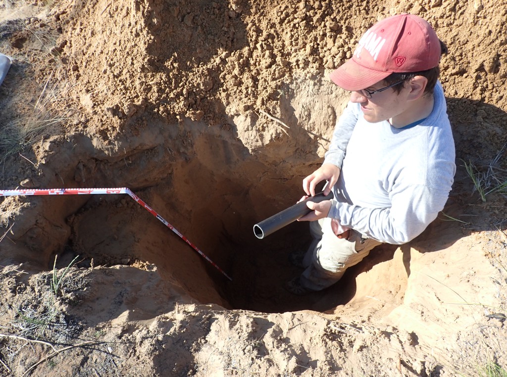
Raised beaches formed by glacial Lake McConnell and eolian dunes were sampled for optical dating. Dune ages ranged from 9.9 ± 0.6 to 10.8 ± 0.7 ka, offering new constraints on the history of glacial Lake McConnell. Combining these ages with recent surficial mapping will help decipher ice-marginal and glacial lake positions within the study area that can then be integrated with the ice-flow directions observed to help refine ice sheet models.
Acknowledgments. This research is part of a Geological Survey of Canada Geo-mapping for Energy and Minerals-2 funded MSc. project at the University of Waterloo and was completed under NWT Research License No. 16226.
Citation: Hagedorn, G.W., Ross, M., Paulen, R.C., Smith, I.R., Neudorf, C.M., Gingerich, T., and Lian, O.B., 2019. Ice-flow and deglacial history of the Laurentide Ice Sheet in the southwestern Great Slave Lake area, Northwest Territories; Geological Survey of Canada, Scientific Presentation 106, 1 poster.